File:Fishing location Map.png
Jump to navigation
Jump to search


Size of this preview: 769 × 599 pixels. Other resolutions: 2,560 × 1,995 pixels | 3,977 × 3,100 pixels.
Original file (3,977 × 3,100 pixels, file size: 7.84 MB, MIME type: image/png)
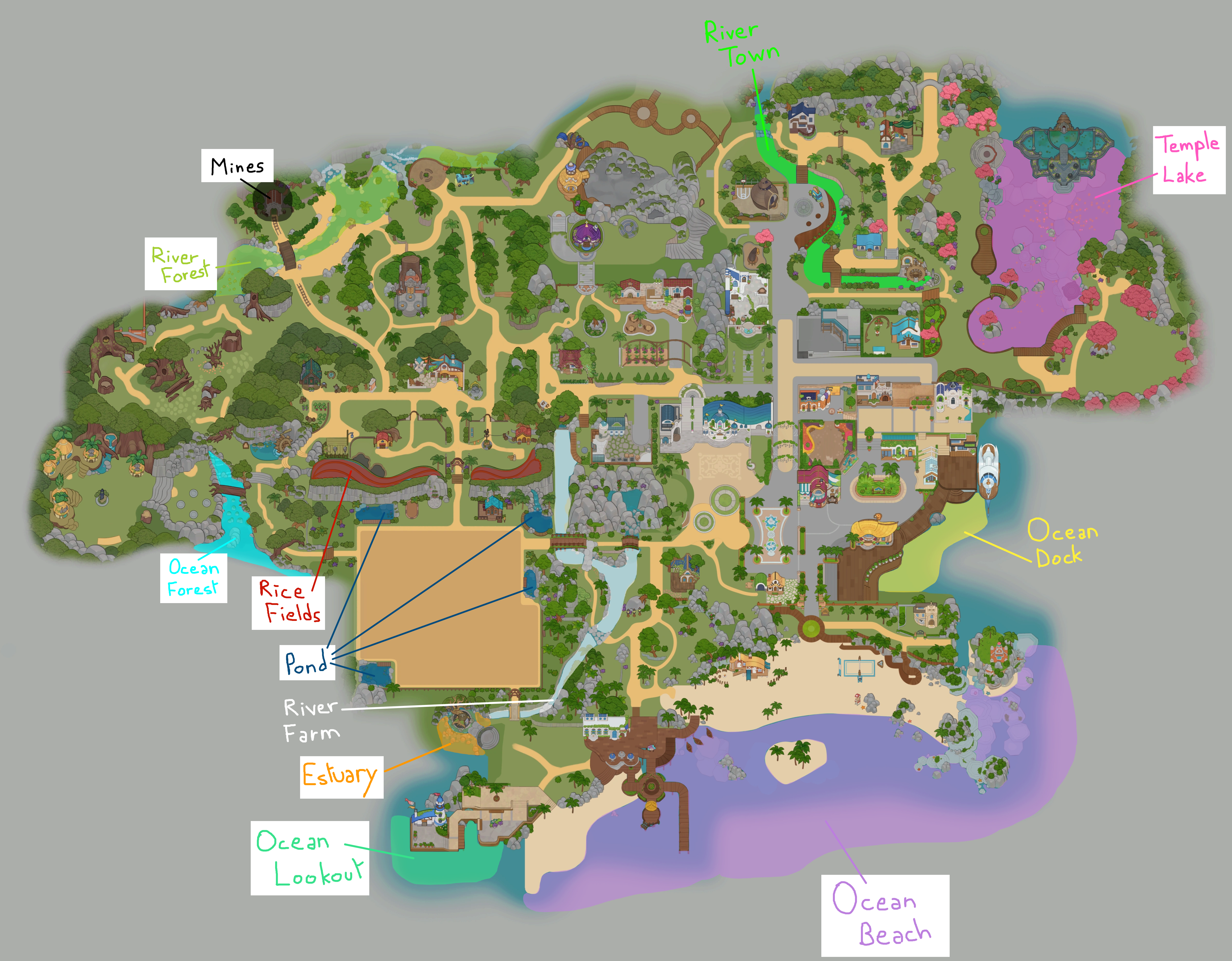
A map showing every fishing spot locations
File history
Click on a date/time to view the file as it appeared at that time.
| Date/Time | Thumbnail | Dimensions | User | Comment | |
|---|---|---|---|---|---|
| current | 09:05, 17 August 2024 | | 3,977 × 3,100 (7.84 MB) | Ftdb (talk | contribs) | |
| 15:55, 24 July 2024 | Error creating thumbnail: File with dimensions greater than 12.5 MP | 4,791 × 3,735 (8.56 MB) | Risari (talk | contribs) |
You cannot overwrite this file.
File usage
The following page uses this file: